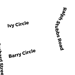
7 RALPH STUBBS RD
Owner Information
OBRIEN STEVEN A
7 RALPH STUBBS ROAD
RANDOLPH, MA 02368


Property Details
7 RALPH STUBBS RD is classified as a Single Family Residential (Raised ranch).
The primary structure on this property was built in 1993. There are 2,936ft2 of built area within this property. There is 1,412ft2 of residential/living space within this property. This property is listed as having 6 rooms.
7 RALPH STUBBS RD is valued at $420,300. The land is valued at $168,200 and the structures are valued at $252,100.
This property is in Zone RH. Confirm with local Zoning Board authorities to ensure there are no overlays or other easements on this property.
The most recent deed for 7 RALPH STUBBS RD is recorded at the local registrar in Book 15208, Page 0510. 7 RALPH STUBBS RD was last sold on Thursday, June 28, 2001 for $10.
Assessment data from fiscal year 2022.
Flood Data
According to the FEMA National Flood Hazard Layer, this property does not appear to be in a flood zone. It may also be in an area not yet reviewed. Nonetheless, confirm this information prior to taking any action.
To view the flood hazards around this property, create a FEMA "Firmette" Map of the area around 7 RALPH STUBBS RD.
Broadband Internet Providers
| Provider | Type | Bandwidth (mbps) | |
|---|---|---|---|
| Viasat Inc | Satellite | 100 | 3 |
| Verizon New England Inc. | DSL | 7 | 0 |
| Verizon New England Inc. | Fiber | 940 | 880 |
| Comcast | Cable | 1000 | 35 |
| GCI Communication Corp. | Satellite | 0 | 0 |
| HughesNet | Satellite | 25 | 3 |
| VSAT Systems, LLC. | Satellite | 2 | 1 |
Broadband service provider data from December 2020.
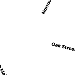
Adjacent Properties
- 11 RALPH STUBBS RD
Single Family Residential owned by POWELL KEITH L SR - 16 IVY CI
Single Family Residential owned by MARINELLI DAVID T & GIOVANNANGELI LUCIHE - 65 OAK ST
Single Family Residential owned by MANN EARL E & LINDA M JT - 61 OAK ST
Two-Family Residential owned by BALDWIN MELVIN & LORETTA TBE - 59 OAK ST
Single Family Residential owned by BROWN SUSANNA & DESMOND BEAU JT